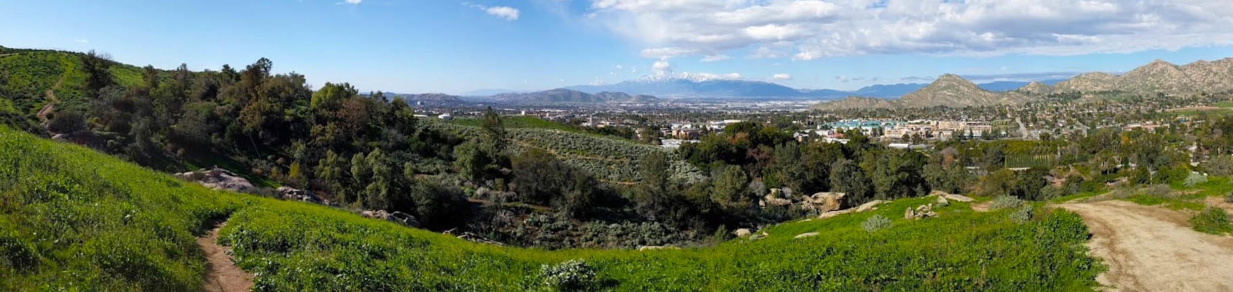
Location and Topography
The UCR Botanic Gardens occupies 16 hectares (40 acres) of rugged, hilly terrain along the eastern boundary of the UC Riverside campus, in the foothills of the Box Springs Mountains. Natural features include two prominent arroyos with steep slopes and intermittent water flow in one (Chancellor's Canyon) and a spectacular assemblage of huge, weathered granite boulders in the upper reaches of the other (Alder Canyon). The elevation varies from 335 meters (1100 feet) above sea level at the entrance to 442 meters (1450 feet) in the southeast corner of the Gardens.
Climate and Environmental Conditions
The annual rainfall in this area has averaged only 271 mm (10.67 inches) over a 97-year period. From 1956 to 1986 the rainfall exceeded the long term average only ten times. The majority of this scant rainfall falls between November and May. With such low rainfall, especially during the hottest time of the year, the Gardens needs to be under irrigation most of the year to grow any but the most drought tolerant plants.
From a horticultural perspective, the UCR Botanic Gardens is in USDA Hardiness Zone 9 and Sunset Western Garden Book Climate Zone 19. The combination of subtropical climate and irregular terrain produce a range of microclimates that allow a surprising variety of plants to be grown. The cold-air-drained upper elevations are nearly frost free, while the lower canyon bottoms are likely to receive light frosts in winter. The average maximum temperature for the year is 26 degrees C (78 degrees F) while the average minimum is 10 degrees C (50 degrees F). Over a 59 year period, Riverside averaged 14 days with a minimum below 0 degrees C (32 degrees F) per year. Over a 12 year period, the number of days with a maximum over 32 degrees C (90 degrees F) has been 59 per year.
